
Buyers see exactly
what they're buying
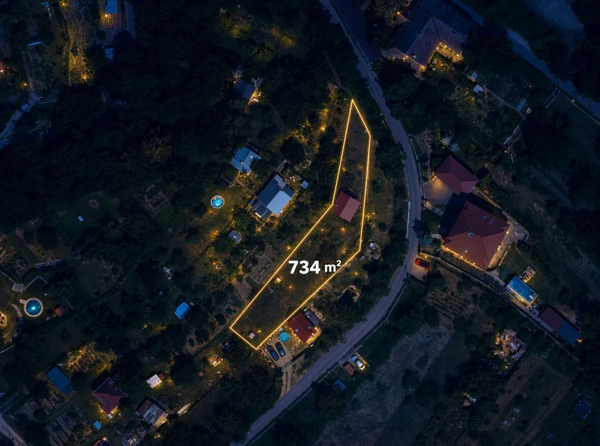
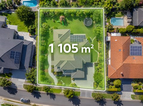
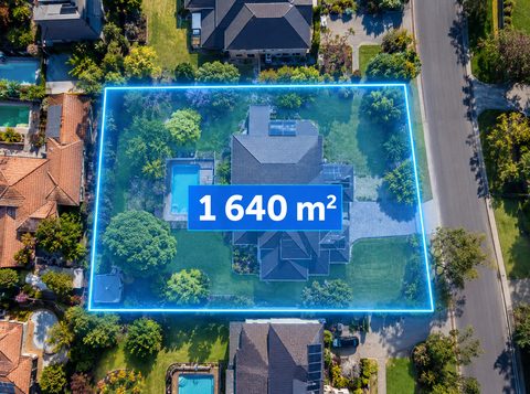
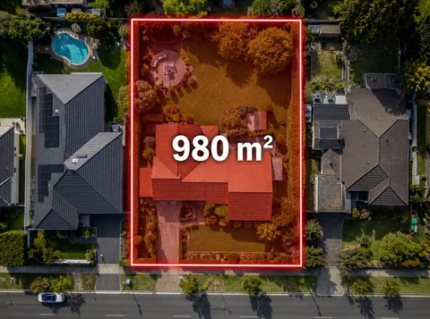
Enter the address and parcel, pick a style, and get an aerial shot with the plot outlined. No drone, no designer, in minutes.
No card needed · EU servers
From an address to an aerial shot
No drone, no pilot, no site visit. Three steps inside Pixoobi, and the preview is free.
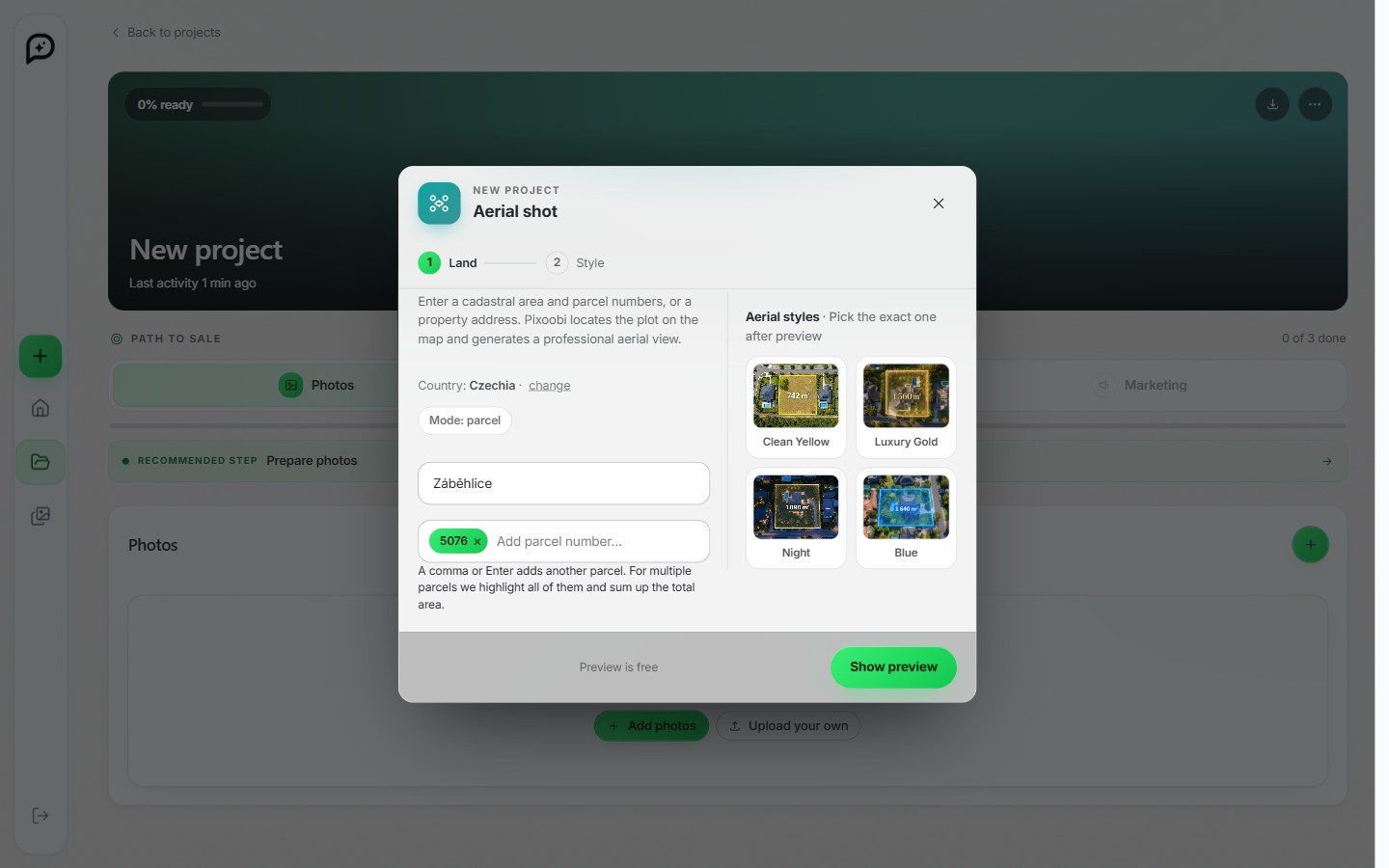
Enter the address or parcel
Type a property address, or a cadastral area and parcel number. No photo, no drone, no site visit.
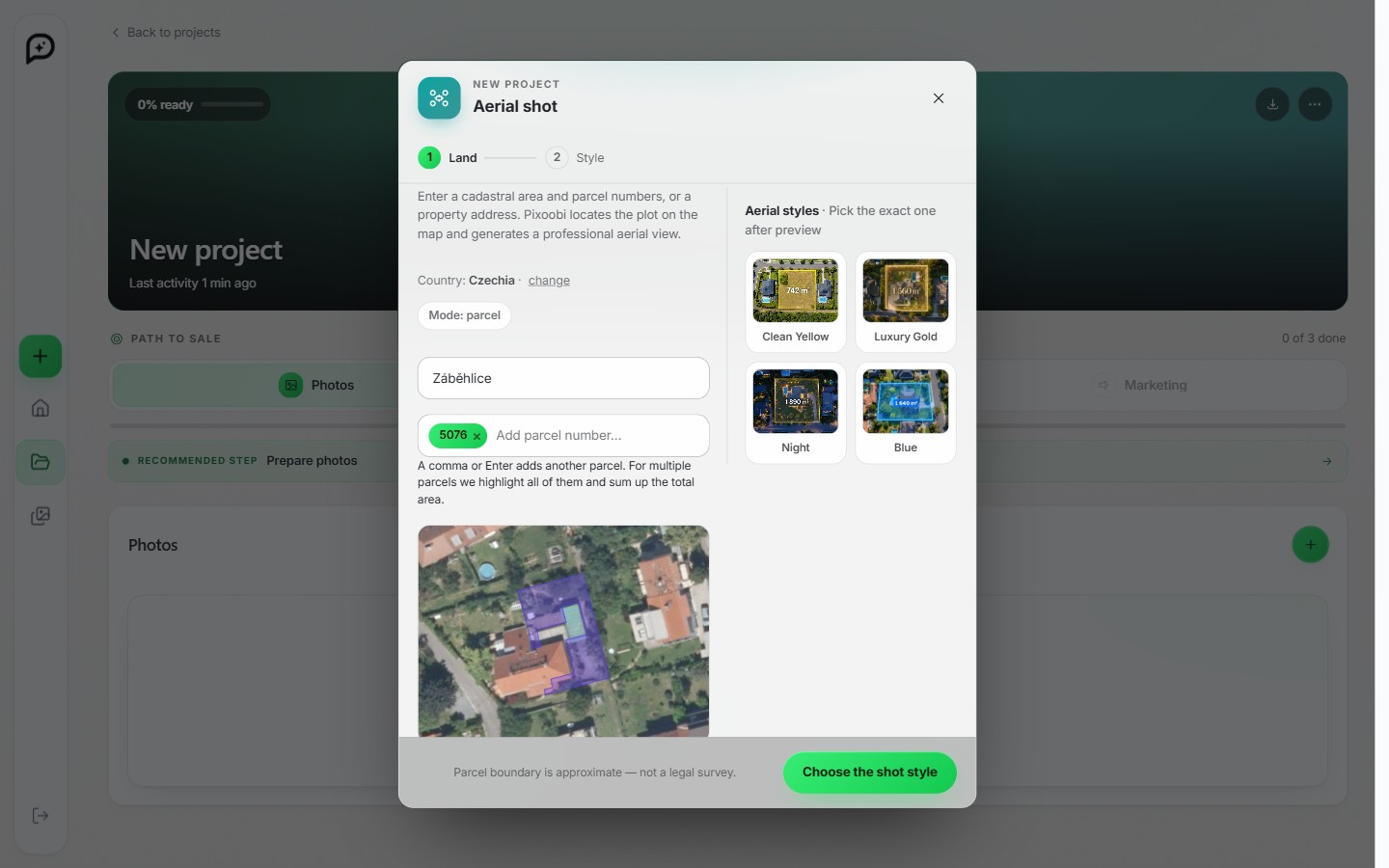
Pixoobi locates the plot
From maps and cadastral data it finds the plot, outlines the boundary and calculates the total area. The preview is free.
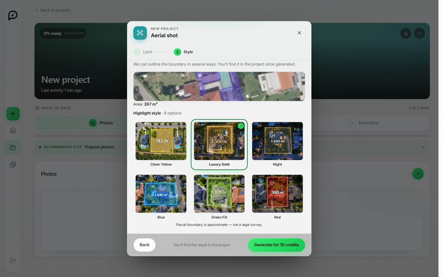
Pick a style and you're done
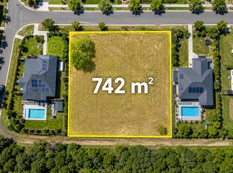
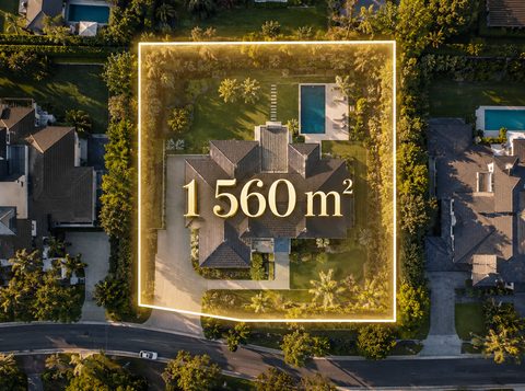
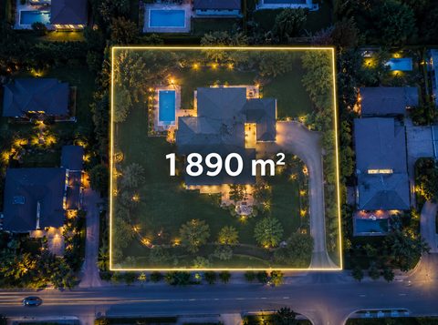
Six highlight styles, from clean yellow to luxury gold. In minutes you have the opening aerial shot for the listing.
The shot that sets the scene
Buyers scroll fast. An aerial view answers their first question right away: where it is, what the plot looks like and what is around it. Right at the top of the listing.
- Finds the exact plot from an address or parcel number
- Outlines the boundary and sums up the total area
- Six highlight styles to match the listing
- A realistic aerial view of the house and surroundings, no drone or pilot
Six highlight styles
Pick the look that fits your listing. From clean yellow to a night shot.
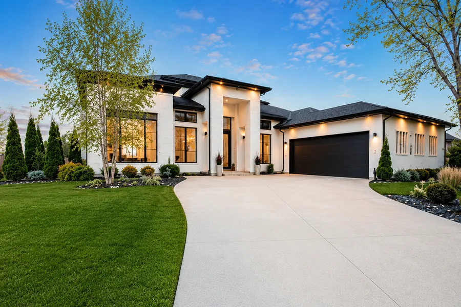
A weak photo can kill a good flat.
Do not let it.
Upload one phone photo and see it come back listing-ready in minutes. Try it free, no card needed.
No card needed · no commitment